2021
October 5th - 7th, Yreka, California

SCHEDULE OF EVENTS
Tuesday, October 5, 20214:00 pm to 7:00 pm Registration
5:00 pm to 6:30 pm Reception (no-host)
6:30 pm to 9:00 pm Dinner
Wednesday, October 6, 2021
7:00 am to 7:45 am Breakfast
7:45 am to 7:55 am Welcome and Introductions
7:55 am to 11:50 am Technical Presentations / Demonstrations
11:50 am to 12:40 pm Lunch
12:40 pm to 5:05 pm Technical Presentations / Demonstrations
5:05 pm to 5:15 pm Comments, Discussion, Evaluations
6:00 pm Evening Dinner and Networking Session
Thursday, October 7, 2021
7:00 am to 8:00 am Breakfast
8:00 am to 8:05 am Welcome and Introductions
8:05 am to 11:45 am Technical Presentations / Demonstrations
11:45 am to 12:05 pm Speaker and Attendee Recognition
11:45 am to 12:05 pm Concluding Remarks, Evaluations
12:05 pm to 1:00 pm Lunch
ASWSC Phase 3: Migration of the Automated Safety Warning System Controller to the Caltrans Advanced Transportation Controller Platform
Jeremiah Pearce, Jeff Worthington, Caltrans, District 2
Doug Galarus, Montana Technological University
Need and Background, Part 1 of 6 (Pearce)
Phase 1 and Phase 2 Development at MSU, Part 2 of 6 (Galarus)
Phase 1 and 2 Testing and Deployment, Part 3 of 6 (Pearce)
Phase 3 Development at USU, Part 4 of 6 (Galarus)
D2 Testing and Deployment, Part 5 of 6 (Worthington)
Current Status, Part 6 of 6 (Pearce, Worthington, Galarus)

|
The ASWSC interfaces with roadside sensors and signs to actuate safety warning messages. It makes real-time activation of warning messages and signals possible with automated data collection and application of best practice algorithms to analyze sensor data. Jeremiah Pearce and Jeff Worthington from Caltrans District 2, and Doug Galarus from Montana Tech, discussed the project in detail from early development through current deployment on the Caltrans Advanced Transportation Controller. Jeremiah started with the need and background for the project and Doug discussed the Phase 1 and 2 development work. Jeremiah then discussed the initial bench testing and the Spring Garden deployment. Doug followed up with details on the Phase 3 development and Jeff reviewed the testing and deployment of the system - including what worked, challenges and problems, and solutions. The three closed with a quick review of the current system status and planned next steps. |
Pictured left to right: Jeremiah Pearce, Jeff Worthington, and Doug Galarus.
Photo by Leann Koon
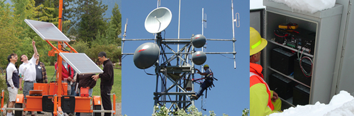
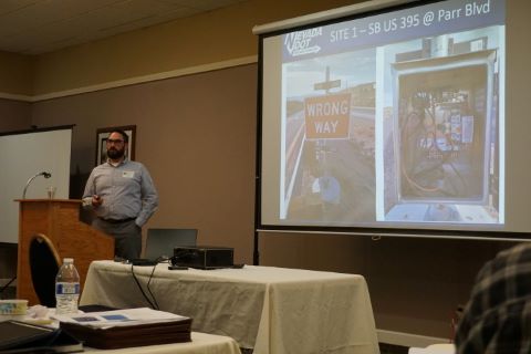
UDOT’s Statewide Wrong-Way Detection Project
Troy C. Torgersen, Utah Department of Transportation
Brad Lucas, Lochner
 and Troy Torgersen (right)")
|
Wrong-way driving crashes tend to be more severe than other types of crashes. Considering the safety related issues associated with wrong-way driving incidents, Utah DOT designed and deployed a project in a proactive effort to reduce the number of potential wrong-way driving incidents statewide. In this presentation, Troy Torgersen from Utah DOT Region 4 along with Brad Lucas from Lochner reviewed the project goals, the locations and site details, type of technologies and equipment used, installation, and lessons learned. |
Brad Lucas seated on left and Troy Torgersen standing to the right.
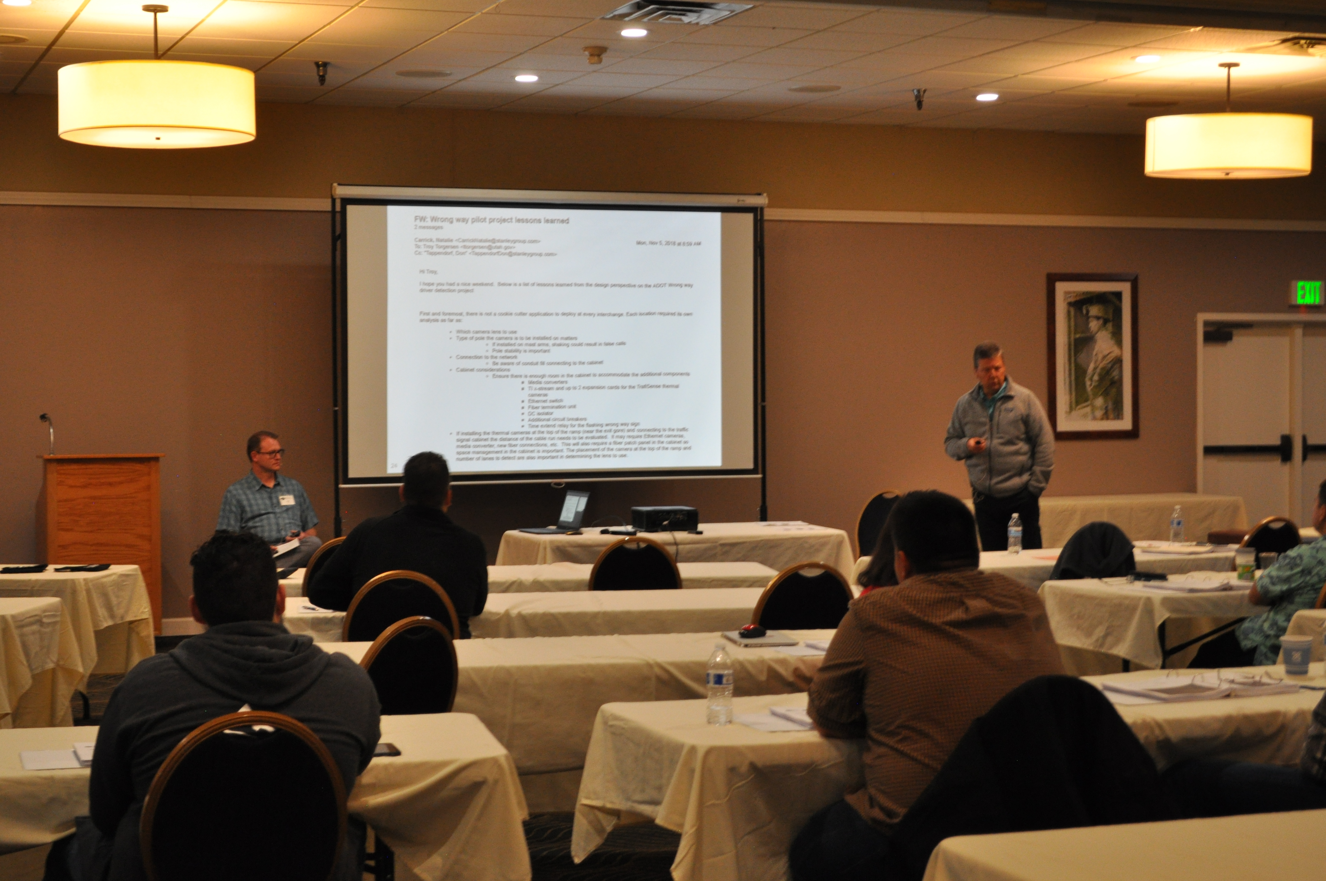
Photo by Doug Galarus
Deterrence and Detection of Wrong-Way Drivers on California Highways
John Slonaker
Caltrans Division of Research, Innovation, and System Information

|
Caltrans has been assessing the extent of wrong way driving in California and evaluating technologies and strategies with the potential to reduce it. John Slonaker from Caltrans’ Division of Research, Innovation, and System Information, discussed several roadway enhancements that have been installed to warn drivers and notify authorities when vehicles enter off ramps from the wrong direction. These include additional two-way, red/clear retroreflective pavement markers, enlarged and additional DO NOT ENTER/WRONG WAY signs, red LED in-pavement lighting across limit lines, and active monitoring systems with dual radars to detect wrong way drivers and activate local red flashing LEDs bordering separate DO NOT ENTER/WRONG WAY signs. John also reviewed the results of the accompanying research project that studied the effectiveness of the enhancements using custom designed machine vision-based site monitoring systems. |
John Slonaker holds up a sample retrofeflective pavement marker.
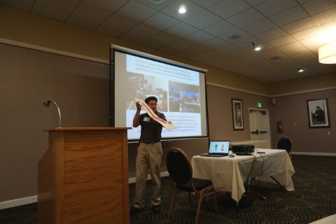
Photo by Leann Koon
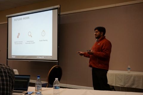
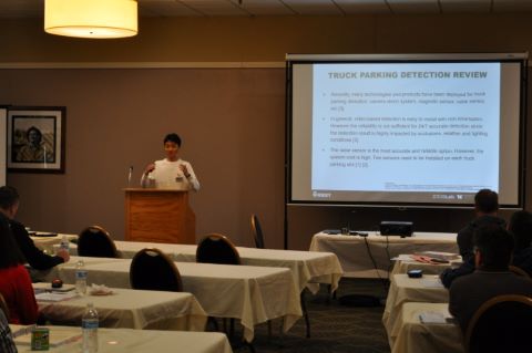
A Cost-Effective Solution for Truck Parking Based on Artificial Intelligence
Karthik Murthy*, Matt Neeley, Washington State Department of Transportation
Hao (Frank) Yang*, Wei Sun, Yinhai Wang, University of Washington
*speaker

|
Karthik Murthy from the Washington State DOT and Hao Yang from the University of Washington presented their work developing and installing a Truck Parking Information and Management System (TPIMS). The system uses detection technology to collect parking occupancy data and feeds it to a neural network that utilizes a parking pattern aggregation / similarity analysis to predict parking space availability at various time intervals in the future. The space availability information is then disseminated to the public through a web/phone application. This presentation reviewed the need for the project, the system details, how the pattern analysis and availability prediction work, test findings, and next steps toward statewide deployment. |

Wrong Way Driver Systems: Technological Solutions for Behavioral Problems
Frederick (Rick) Tydeman
Nevada Department of Transportation

|
Wrong way driving is a behavioral problem that presents an opportunity for an ITS based technological solution, according to Nevada DOT’s Rick Tydeman, as he presented Nevada’s approach to reducing wrong-way driving incidents. Rick began with some background on wrong-way driving incidents and current mitigation measures. He then described current NDOT experimentation efforts including red RRFB (Rectangular Rapid Flash Beacon) augmentation and sign height variation, detailing system design and specifications, system integration, and testing locations. Rick reviewed Nevada DOT’s wrong-way driver warning system evaluation project with details on the various criteria (detection, activation, validation, notification, etc.), results of the evaluation, updated system specifications, and conclusions / next steps. |
Field Site Power Data Acquisition and System Reporting
Kenneth Shipley
Caltrans, District 2

|
Utility power in rural Northern California has been known to be unreliable during inclement weather. To mitigate the effects of power interruptions on sensitive communication electronics, Caltrans District 2 has installed battery back-up systems at each CCTV site. They have since developed a data acquisition relay that polls a site’s uninterruptable power system’s (UPS) status and presents the information on a graphical user interface. Caltrans District 2 ITS Engineer Kenneth Shipley presented the need of a UPS for ITS elements in rural areas, design decisions, design architecture, implementation, back and front-end code, and system data flow. He discussed how the field site power data relay has been integrated into the District’s ITS workflow and concluded with lessons learned. |
Innovative Uses of Unmanned Aerial Vehicle (UAV) Technology
Tony Leingang, Washington State Department of Transportation
Alyssa Ryan, University of Massachusetts Amherst
 and Alyssa Ryan (on screen)")
|
Washington State DOT’s Tony Leingang teamed up with Alyssa Ryan from the University of Massachusetts Amherst for a presentation that aimed to provide Forum attendees with an understanding of how they can leverage Unmanned Aerial Vehicle (UAV) technology in transportation applications. Alyssa gave a comprehensive overview of drone operations for transportation data collection purposes, including federal laws, common drone types, licensure requirements, weather considerations, and learned best practices. Tony described the UAV programs that WSDOT and their partners at the Washington State Patrol have developed to take advantage of the efficiencies and benefits this technology can provide. He explained multiple use cases for the technology in both agencies, providing details on the equipment, software, and processes employed. Tony showed the UAV that WSDOT uses and demonstrated how they interact with the Drone Deploy cloud service to produce accurate and repeatable 2D/3D photogrammetric products that save time, exposure, and money for the agencies. Alyssa concluded the presentation with a demonstration of the set-up and start of a UAV flight. |
Tony Leingang standing by the podium; Alyssa Ryan shown on the screen.
Photo by Doug Galarus